


Discovering the Etruscans
Foreign archeologists and artists in Etruria

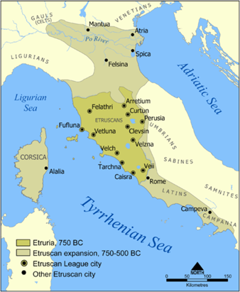
The central part of the Italian peninsula from Rome into Tuscany and further north as far as the Po valley was home to the Etruscan civilization from about 750BC to 500BC when the Roman empire began to expand aggresively.
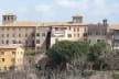
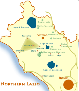
The Tuscia area where the Painted Palazzo is located boasts numerous burial sites (necropolis or city of the dead) and sanctuaries spread over the landscape, linking the present day towns of Tarquinia, Tuscania and Vetralla which I call the Etruscan Triangle.
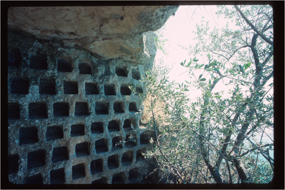
In the countyside we can discover colombari (for raising pigeons or doves) dug into the soft tufa rock as well as vie cave, which acted as hidden roads connecting villages.
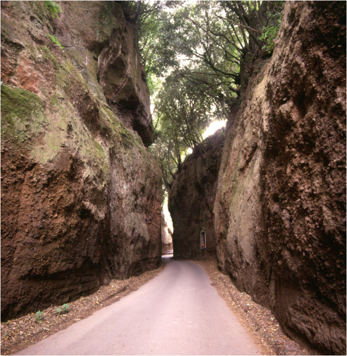
via cava near Vetralla Photos by John Ferro Sims
Notice how very different these are from the roads built later by the Romans. Many are still intact today and often they are better than today’s roads! Check Dave Morton’s www.romanroadwalks.com for walking adventures in Tuscia and around Rome.

a Roman road in Etruria, made of basoli
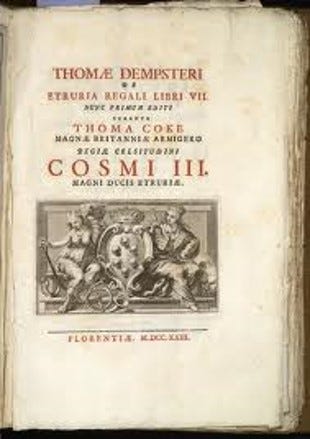
Very little was known about the area’s Etruscan past until quite recently when the first written work was published by Scotsmen Thomas Dempster and Thomas Coke who dedicated their research to Cosimo Medici III.
.
The diary of an intrepid female traveler Elizabeth Gray who followed her husband to the area in 1839-44 was another milestone. But I doubt she wore that headgear while exploring sepulchres in Etruria!
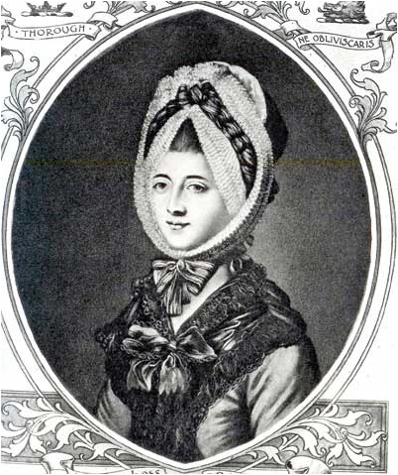
Mrs. Hamilton Gray
“A Tour of the Sepulchres of Etruria” was so enticing that George Dennis then set off to explore the region accompanied by his artist friend Samuel Ainsley who sketched the tombs and landscapes of the Tuscia region. The result was “Cities and Cemeteries of Etruria” a classic guide to Etruscan sites since its publication in 1848. Dennis tells of the difficulties he had finding guides to the places mentioned by Mrs. Gray. The local farmers and shepherds ignored most of them. He complained about the osterie but did mention that the girls of Vetralla were more beautiful than those of nearby Viterbo!
George Dennis
August Hare’s “Days near Rome” (1875) and D.H. Lawrence’s “Etruscan mornings” (1929) are other books describing the exploratioins in and near the towns of the Etruscan triangle.
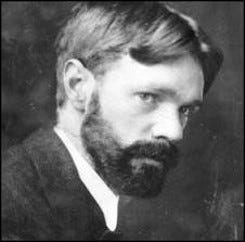
. D.H. Lawrence

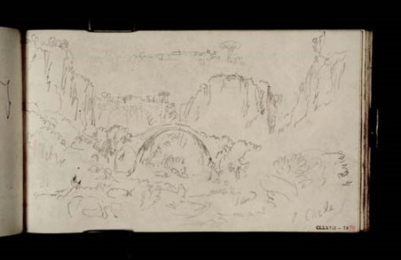
the ancient Etruscan bridge at Blera, S. Ainsley
Ponte Clementino, Civita Castellana, by Lear
Foreign artists added their sketches and paintings to create more interest in the area. Edward Lear was known primarily for his nonsense verse and the fact he once taught painting to Queen Victoria, but his notebooks and paintings spanned the entire Mediterranean area. He was a voracious explorer and true expat who lived out his last years in Liguria. I will tell you more about Lear’s art and travels in a future note.
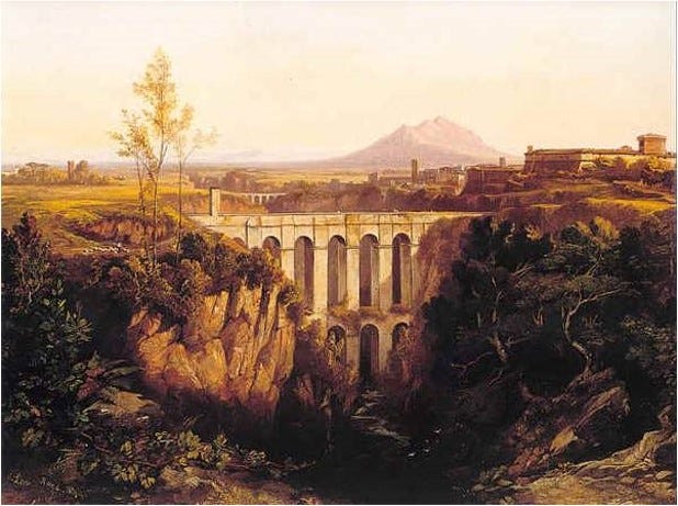
Another beloved English artist, J.M. Turner, produced numerous sketchbooks which are conserved at the Tate in London, with views of the countryside and towns of central Italy . Here is his sketch of another Etruscan bridge.
A magnificent book with hundreds of illustrations of the newly discovered Etruscan art and artifacts is this 600 page volume by Jules Martha “L’Art Etrusque” published in 1889. Several decades ago I found my copy on a bancarella in Torino for a pittance.
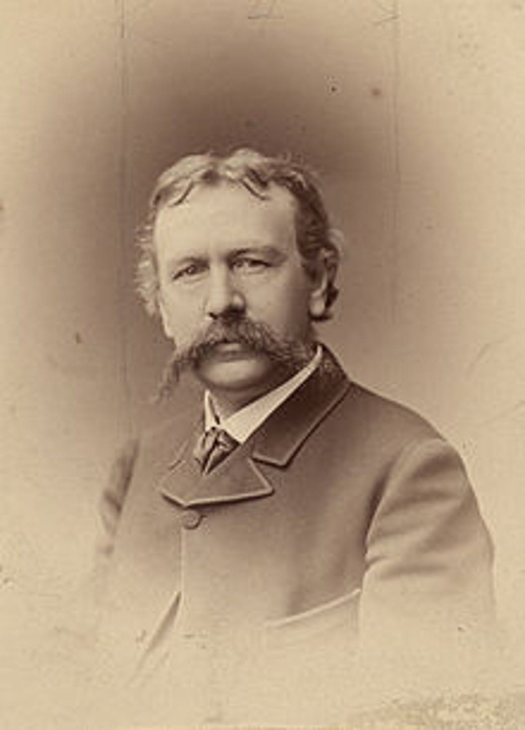
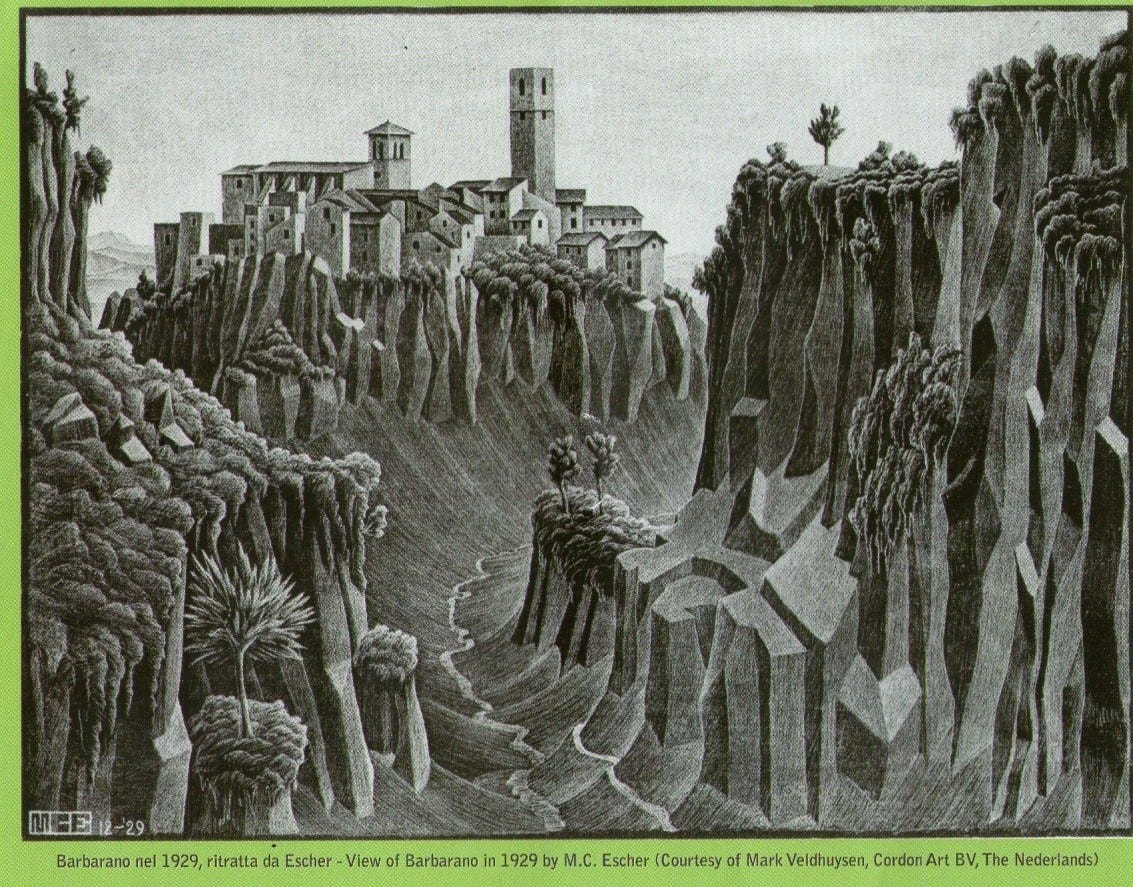
An American expat Elihu Vedder (with his signature moustache in 1870) and Dutch artist M. Escher (1929) walked the back roads of Etruria to immortalize the towns, villages and landscapes of the Etruscan people -Barbarano Romano, Vitorchiano, and Blera.
the town of Vitorchiano by M. Escher
Part II next week: Foreign Archeologists in Etruria 1900s-2024
My favorite part of Italy.